Measure
The Global Ocean Observing System (GOOS)
The Global Ocean Observing System (GOOS) provides countries and end-users with critical information on physical, chemical, and biological essential ocean variables, aimed at delivery for climate, operational services, and ocean health. The GOOS mission is to lead the ocean observing community and create the partnerships to grow an integrated, responsive and sustained observing system.

Data and Information
The International Oceanographic Data and Information Exchange (IODE) of the Intergovernmental Oceanographic Commission (IOC) of UNESCO was established in 1961. Its purpose is to enhance marine research, exploitation and development, by facilitating the exchange of oceanographic data and information between participating Member States, and by meeting the needs of users for data and information products.

Ocean Biodiversity Information System
The Ocean Biodiversity Information System (OBIS) is one of our flagship data systems. OBIS is a global data platform that integrates, quality controls and provides access to over 100 million occurrence records of 160,000 different marine species and that number is growing by millions every year. OBIS is built by the contribution of thousands of scientists who collaborate with data managers to make scientific data available for research, management and public awareness. Every year, OBIS is used in over 100 scientific papers. The UN World Ocean Assessment and the assessments as part of the Intergovernmental Platform on Biodiversity and Ecosystem Services all use OBIS to report on the state of our ocean.

The General Bathymetric Chart of the Oceans (GEBCO)
The General Bathymetric Chart of the Oceans (GEBCO) is working to map the floor of the global ocean. The oceans cover over two thirds of our planet but it's often said that we know more about the shape of the surface of Mars than we do about the bottom of our own ocean.

Joint Centre for Oceanography and Marine Meteorology in situ Observations Programmes Support (OceanOPS)
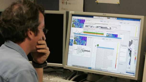
The global ocean observation system has significant complexity, including full depth oceanic and atmospheric observations, requiring tools and resources to coordinate within and amongst communities of observers from over 100 countries around the world. OceanOPS acts as a focal point for implementation and operation of relevant observing platforms. The Centre which is located in Brest (France) is funded thanks to voluntary contributions from IOC/UNESCO and WMO Member States, through the marine observing programmes and panels such as Argo, DBCP, OceanSITES, GO-SHIP, SOT, GLOSS, OceanGliders.

The Global Sea Level Observing System (GLOSS)
The Global Sea Level Observing System (GLOSS) uses a network of 290 sea level stations located around the world to measure global sea levels. GLOSS has been used to collect real-time measurements of sea levels since the 2004 Indian Ocean tsunami, and this information is used to support long-term climate change studies.

International Group for Marine Ecological Time Series (IGMETS)
Shipboard biogeochemical time-series represent one of the most valuable tools scientists have to monitor climate and marine ecosystem changes. IOC established the International Group for Marine Ecological Time Series (IGMETS) to identify changes within different ocean regions, explore plausible reasons and connections at a global level, and to highlight any regions that may be at greater risk.


